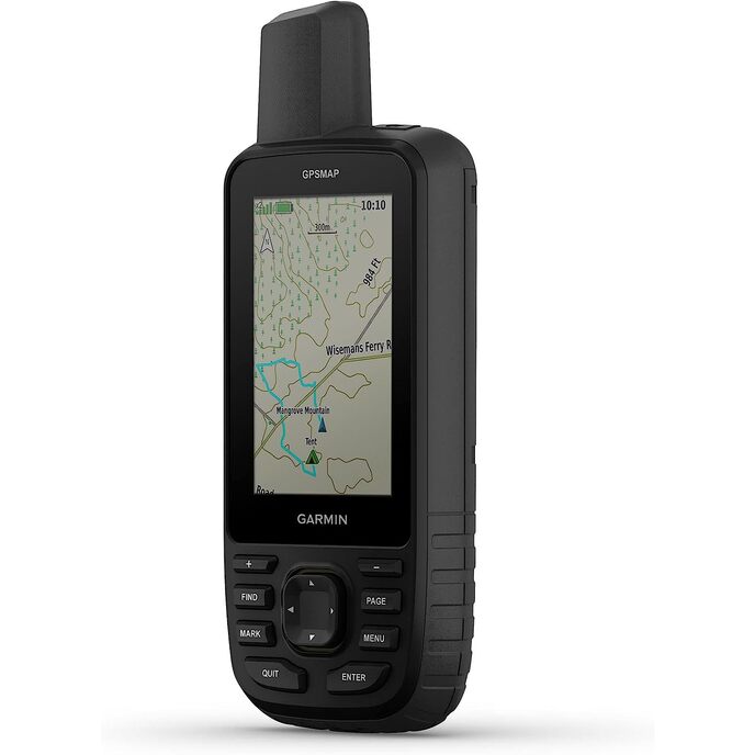

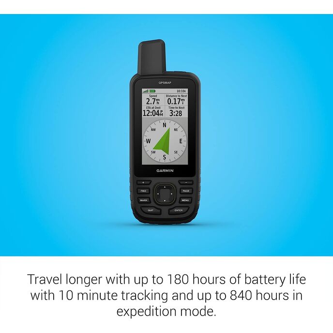
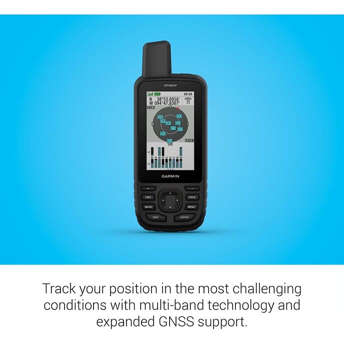
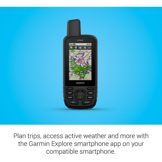
Erkunden Sie die Natur mit dem GPSMAP® 67 Handheld. Dieses hochwertige, robuste Handheld bietet Multiband-Technologie und erweiterte GNSS-Unterstützung für höhere Genauigkeit in steilem Gelände, in städtischen Schluchten und in Wäldern mit dichtem Baumbestand. Es verfügt über ein 3-Zoll-Farbdisplay und bietet eine Akkulaufzeit von bis zu 180 Stunden im Standardmodus und bis zu 840 Stunden im Expeditionsmodus. Es ist vollgepackt mit Navigationssensoren, routbarer TopoActive-Kartierung und Zugriff auf Satellitenbilder. Koppeln Sie es mit Ihrem kompatiblen Smartphone, um auf aktives Wetter, Geocaching Live und die Garmin Explore™-App zuzugreifen. Erhalten Sie mit dem Outdoor Maps+-Abonnement Zugriff auf Premium-Karteninhalte.
EAN: 0753759308698
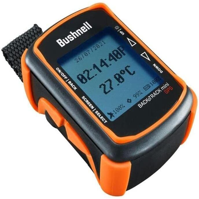
Kategorien Elektronik, GPS, Finder & Zubehör, GPS-Geräte, Hand-GPS-Geräte,
| Batteries | 1 Lithium Ion batteries required. |
| Brand | Garmin |
| Color | Black/Green |
| Connectivity technologies | Bluetooth, USB |
| Customer Reviews | 3.7 3.7 out of 5 stars 8 ratings 3.7 out of 5 stars |
| Human Interface Input | Buttons |
| Item Dimensions LxWxH | 2.5 x 6.4 x 1.4 inches |
| Item model number | AA4624 |
| Item Weight | 8.1 ounces |
| Manufacturer | Garmin |
| Map Type | North America |
| Model Name | Garmin GPSMAP 67 series |
| Mounting Type | Found in image, Wrist Mount |
| Other display features | Wireless |
| Product Dimensions | 2.5 x 6.4 x 1.4 inches |
| Screen Size | 3 Inches |
| Sport | Camping & Hiking, Outdoor Lifestyle |
| Whats in the box | GPSMAP 67 or GPSMAP 67i handheld device, type-A to type-C USB cable, carabiner clip, documentation |
| Wireless communication technologies | Bluetooth |